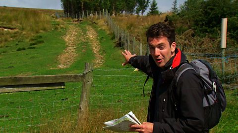
This clips explains what 'geocaching' is - a sort of high-tech treasure hunt you can play with a GPS enabled smartphone.
Video
KS3 Geography. Maps and navigation.
What is geocaching?
JOE CROWLEY: The ability of GPS trackers and smartphones that can pinpoint exactly where you are has led to the development of a new hobby. It’s called geocaching. It’s like a hi-tech treasure hunt in which you have to go out and find caches hidden by people all over the country.
Typically clues to the hidden item’s whereabouts will be placed on websites devoted to geocaching. Here you’ll find the co-ordinates of the hiding place and often additional clues as to their precise position - for example, that the item is hidden in a wall. These additional clues may be cryptic or in code.
You then put the co-ordinates into your GPS tracker or smartphone and go looking for the cache. This will take you very close to your target. But even the best GPS tracker can only take you to within a few metres of the location you’re looking for. So at that point you have to use your intuition and your eyes to find the hidden item.
YOUNG PERSON: Oh! What have we found?
YOUNG PERSON: Yeah, that’s it!
JOE: The caches take various forms. Sometimes there’s a small trinket to exchange; in others a simple log, that you add your details to. You should of course replace the cache after you’ve found it.
It’s a growing hobby and there are now specialist apps that allow you to download the co-ordinates direct to your device instead of imputing them manually.
YOUNG PERSON: So it’s just before the wall.
JOE: So geocaching is a brilliant way of blending hi-tech gadgets with the great outdoors.
Download/print a transcript of the video.
Joe Crowley demonstrates how GPS trackers and smartphones can be used for 'geocaching'.
Geocaching is like a high-tech treasure hunt. Participants track down 'hidden treasure' by logging on to a number of websites which give the co-ordinates for geocaches all over the world. GPS trackers will take participants to within a few meters of the cache, and then a manual search begins.
We see three young people using their initiative and skill to locate the cache once they are in a rough area. It’s an entertaining blend of high tech and the great outdoors.
This clip was originally from the series Get Lost.
Teacher notes
Download/print the Teacher Notes for this episode (pdf).
Before watching the video
Ask students if they have been geocaching before, and if anyone has ask them to describe the process of geocaching and why they enjoy doing it.
Introduce key terms such as:
GPS: Global positioning system. A satellite-based navigation system that enables users to determine a location.
Geocaching: An outdoor treasure-hunting activity where participants use GPS devices or smartphones to find hidden containers.
During the video
You may wish to stop at relevant points during this short film to pose questions and check understanding or wait until the end.
Useful questions might include:
- What is geocaching?
- Why is it important to be able to read co-ordinates when geocaching?
- Why are your powers of observation important when geocaching?
- What might you find in a geocache?
- Who goes geocaching?
After watching
Use OS maps with your class asking them to pick out different locations on the map using grid references. Four-figure grid references could be used first and then six-figure grid references once students feel more confident. Students could then pick out 10 grid references on the map to test their peers with.
Students could also plan routes between two locations using grid references. They could describe the route between the two using geographical vocabulary, including compass directions.
1:25,000 and 1:50,000 maps could be used to show the differences in scale and how grid references can be used in the same way across both scale maps.
Look at the maps and ask students where they think a good place would be to hide geocaches. You could ask students to ‘hide’ some geocaches and to write a series of clues for the locations for other students to follow.
Where next?
The Ordnance Survey website provides a great opportunity to practice different skills and gain helpful hints and tips on all aspects of map reading.
Your class could also look at whether there are geocaches nearby to investigate.
Curriculum notes
This clip will be relevant for teaching Geography.
This topic appears in OCR, Edexcel, AQA, WJEC KS4/GCSE in England and Wales, CCEA GCSE in Northern Ireland and SQA National 4/5 in Scotland
More videos from this series
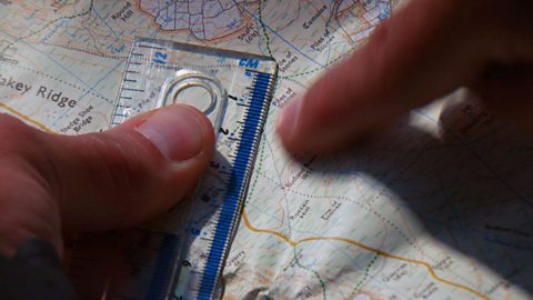
Using maps to calculate distance. video
Demonstrating how to use the scale of a map to work out distances.
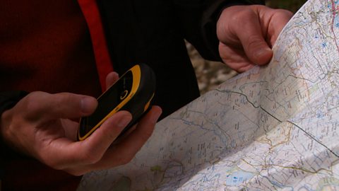
Co-ordinates and grid references. video
How to use latitude and longitude or grid references to work out precise location.
Contour lines and gradients. video
Demonstrating how contour lines can be used to understand gradients.
Public rights of way. video
Explaining how to use maps and signposts to work out public rights of way.