UK's next heatwave begins - but how will it be different?

- Published
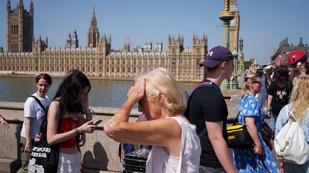
The third heatwave of the year has started across parts of the United Kingdom with temperatures expected to rise up to 34C for some by the middle of the week.
This heatwave is not likely to be as extreme as the one in late-June where we saw the temperature peak at 37.7C, however, it is going to last longer.
Amber heat-health alerts have been issued from the UK's Health Security Agency, for The Midlands, London, eastern and southern England. They are valid from 09:00 on Wednesday 8th July until 21:00 on Sunday 12th July. With similar yellow alerts for northern England, Yorkshire and The Humber.
The UKHSA suggests significant impacts are expected across health and social care services with a greater risk to life for vulnerable people.
Northern areas of the UK will turn warmer but cloud and rain is likely to continue, particularly in western Scotland.
Temperatures across the Midlands, East Anglia and south-east England could rise to 31C on Monday afternoon.
With temperatures above 28C expected, the official heatwave criteria will be met widely in these locations over the next few days.
The heatwave will then intensify from mid-week with temperatures across England and east Wales getting into the high-20s and low-30s.
But, it is in London and south-east England where the temperature may peak at around 34C on Wednesday and Thursday.
Although it's unlikely the temperature will reach the 37.7C recorded at the end of June, some weather forecasting models are suggesting there is a chance we could see temperatures in the mid to high-30s this week.
The UK all-time temperature record of 40.3C was set in July 2022 at Coningsby, Lincolnshire.
Six ways to keep your home and yourself cool in hot weather
- Published22 June
How to get a good night's sleep during hot weather
- Published25 June
Longer lasting heat is forecast
The first two heatwaves of the year were record-breaking.
New monthly temperature records were set by a significant margin as the mercury soared to 35.1C in May and 37.7C in June.
The June heatwave also brought extremely high humidity, which made it feel even hotter, as if temperatures were above 40C in some locations.
Overnight temperature records were also broken. We saw a number of "tropical nights" where the temperature did not fall below 20C.
Amber and red heat-health alerts were issued and the Met Office issued a rare red warning for extreme heat at the end of June.
During that June heatwave the temperature exceeded 30C somewhere in the UK on seven consecutive days. In the May heatwave, it was six days.
Although this heatwave is not likely to bring the extreme temperatures or high humidity seen in June, the heat is expected to last longer.
The current forecasts suggest a temperature exceeding 30C somewhere in the UK is likely for up to 10 consecutive days.

Temperatures will rise above average over the coming days as another significant heatwave develops across Europe
Dry European heat develops
Significant heat has been building in Portugal and south-west Spain recently.
With a temperature of 40.1C in Porto over the weekend, this was a fraction below the city's hottest day ever recorded.
Temperatures have widely been reaching around 40C and that heat will gradually spread further north into France this week.
Meteo-France warns of another period of intense heat as temperatures are expected to soar into the mid-to-high 30s and some locations in southern France may see temperatures in excess of 40C.
It will also be warmer than average in northern Italy.
The humidity levels of this latest European heatwave will be lower than that of June and with very dry soils, there is a higher risk of wildfires.
- Published22 June
- Published1 July