Satellites show wildfire damage near Bordeauxpublished at 13:22 BST
By Thomas Spencer
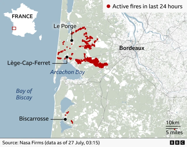
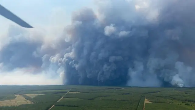
BBC Verify has been looking at satellite imagery that shows the spread of wildfires west of the city of Bordeaux in France’s Gironde region.
Satellite imagery taken on 26 July reveals a large area of countryside has been burnt. Data from the EU’s Copernicus Sentinel-2 satellite’s burned area detector tool also shows swathes of scorched land close to the coast.
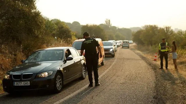
Data compiled by Google Maps, external also reflects the large area that is estimated to have been affected by the Gironde wildfire with major roads closed in its wake.
Another online tool, the French reporting app Feux de Foret, external, is also tracking the fires that have led to more than 200,000 people having to leave their homes.